![](/images/other/stat-length.png)
![Tocht Mountainbike La Palme - Randonnée de la Palme - Photo](https://media.geolcdn.com/t/1900/400/ext.pjpeg?maxdim=2&url=https%3A%2F%2Fservices.sitytrail.com%2FGeolivesWS%2FDownloadMedia.ashx%3FTrailID%3D105316%26Media%3D9007_6.jpg)
Randonnée de la Palme
tracegps
Gebruiker
![Lengte](/images/other/stat-length.png)
![Max. hoogte](https://static1.geolcdn.com/siteimages/upload/files/1508320355ic_sort_altitude_max_24dp.png)
![Positief hoogteverschil](https://static1.geolcdn.com/siteimages/upload/files/1508320355ic_sort_den_pos_24dp.png)
![Km-Effort](/images/other/stat-length.png)
![Min. hoogte](https://static1.geolcdn.com/siteimages/upload/files/1508320355ic_sort_altitude_min_24dp.png)
![Negatief hoogteverschil](https://static1.geolcdn.com/siteimages/upload/files/1508320355ic_sort_den_neg_24dp.png)
![Boucle](https://static1.geolcdn.com/siteimages/upload/files/16400158638029165_repeat_loop_refresh_sync_direction_icon.png)
![Mountainbike](https://static1.geolcdn.com/sitytour/trail-icons/202.png)
3h30
Moeilijkheid : Zeer moeilijk
![Scan deze QR-code om de tocht te openen in de SityTrail-applicatie](https://capi.geolives.com/qq0zvz2zws4bq2lad0pu/sitytour/trails/105316/qr.png?size=200)
Gratisgps-wandelapplicatie
Over ons
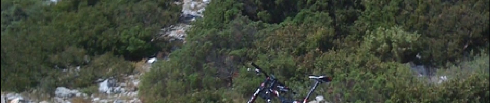
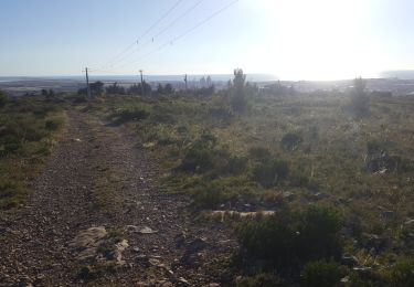
Tocht Mountainbike van 52 km beschikbaar op Occitanië, Aude, La Palme. Deze tocht wordt voorgesteld door tracegps.
Beschrijving
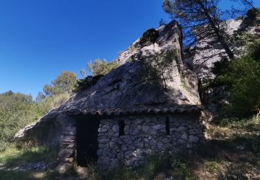
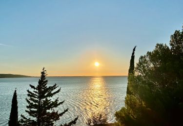
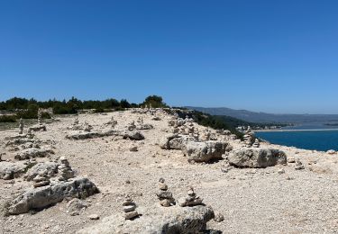
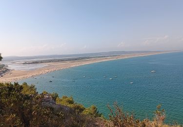
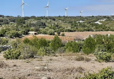
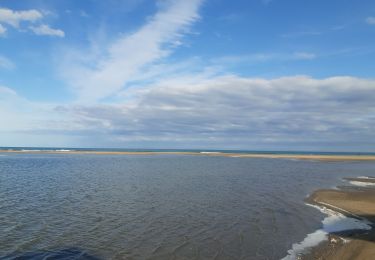
Très belle randonnée dans le massif pyrénéens. Il est important d'avoir un bon niveau pour affronter certains passages relativement techniques. Prévoir une bonne quantité d'eau en été. Pour ma part, je tiens à remercier le Garage Krustroad Jean-Marc Guitou-Mourgues (carrosserie/peinture) à Roquefort des Corbières, pour m'avoir ravitaillé en eau fraiche pour finir mon parcours dans les meilleurs conditions, vu la chaleur. Les paysages sont vraiment magnifiques, grands chemins, petits singles, des belles montées et des très belles descentes souvent techniques. Un vrai plaisir pour les amoureux de Vtt. Bonne rando
Plaatsbepaling
Opmerkingen
Wandeltochten in de omgeving
![Tocht Stappen Roquefort-des-Corbières - Roquefort des Corbières Jean 17.04.22 - Photo](https://media.geolcdn.com/t/375/260/df7e706c-86b4-4f41-b4d6-da42e79bf632.jpg&format=jpg&maxdim=2)
![Stappen Stappen](https://static1.geolcdn.com/sitytour/trail-icons/101.png)
Stappen
![](/images/other/stat-length.png)
![](https://static1.geolcdn.com/siteimages/upload/files/16400158638029165_repeat_loop_refresh_sync_direction_icon.png)
![Tocht Stappen La Palme - La palme 17_09_2020 - Photo](https://media.geolcdn.com/t/375/260/d7f347aa-f418-4dc5-9ccc-da38c1b77565.jpg&format=jpg&maxdim=2)
![Stappen Stappen](https://static1.geolcdn.com/sitytour/trail-icons/101.png)
Stappen
![](/images/other/stat-length.png)
![](https://static1.geolcdn.com/siteimages/upload/files/16400158638029165_repeat_loop_refresh_sync_direction_icon.png)
![Tocht Stappen La Palme - Du camping Le Clapotis à La Palme et retour - Photo](https://media.geolcdn.com/t/375/260/72af8437-8cb1-4209-a58a-f817e4d6f1a8.jpeg&format=jpg&maxdim=2)
![Stappen Stappen](https://static1.geolcdn.com/sitytour/trail-icons/101.png)
Stappen
![](/images/other/stat-length.png)
![](https://static1.geolcdn.com/siteimages/upload/files/16400158638029165_repeat_loop_refresh_sync_direction_icon.png)
![Tocht sport Leucate - 20240511 La Franqui- Leucate plagette - Photo](https://media.geolcdn.com/t/375/260/cae6fbb1-2a0b-437f-8359-e87666902835.jpg&format=jpg&maxdim=2)
sport
![](/images/other/stat-length.png)
![](https://static1.geolcdn.com/siteimages/upload/files/16400158638029165_repeat_loop_refresh_sync_direction_icon.png)
![Tocht Stappen Leucate - la franqui . phare de leucate .. retour via la falaise - Photo](https://media.geolcdn.com/t/375/260/4078031a-4bf2-434b-bc13-82d022dd29a6.jpg&format=jpg&maxdim=2)
![Stappen Stappen](https://static1.geolcdn.com/sitytour/trail-icons/101.png)
Stappen
![](/images/other/stat-length.png)
![](https://static1.geolcdn.com/siteimages/upload/files/16400158638029165_repeat_loop_refresh_sync_direction_icon.png)
![Tocht Stappen La Palme - la palme la jasse - Photo](https://media.geolcdn.com/t/375/260/0ee72d9c-a841-4e90-9113-9fdf47558874.jpg&format=jpg&maxdim=2)
![Stappen Stappen](https://static1.geolcdn.com/sitytour/trail-icons/101.png)
Stappen
![](/images/other/stat-length.png)
![](https://static1.geolcdn.com/siteimages/upload/files/16400158638029165_repeat_loop_refresh_sync_direction_icon.png)
![Tocht Stappen Leucate - la franqui - phare du cap de leucate / retour par la falaise et la plage - Photo](https://media.geolcdn.com/t/375/260/79bbb48c-66a1-4829-ab36-fb65cb3a8edf.jpg&format=jpg&maxdim=2)
![Stappen Stappen](https://static1.geolcdn.com/sitytour/trail-icons/101.png)
Stappen
![](/images/other/stat-length.png)
![](https://static1.geolcdn.com/siteimages/upload/files/16400158638029165_repeat_loop_refresh_sync_direction_icon.png)
![Tocht Ezelwandeling Port-la-Nouvelle - Cathare 1 port la nouvelle Durban Corbieres - Photo](https://media.geolcdn.com/t/375/260/e41ebe21-8688-4101-9289-802a8715a742.jpg&format=jpg&maxdim=2)
![Ezelwandeling Ezelwandeling](https://static1.geolcdn.com/sitytour/trail-icons/303.png)
Ezelwandeling
![](/images/other/stat-length.png)
![](https://static1.geolcdn.com/siteimages/upload/files/16400158638029165_repeat_loop_refresh_sync_direction_icon.png)
![Tocht Stappen Roquefort-des-Corbières - Roquefort 161106 - Photo](https://media.geolcdn.com/t/375/260/ext.jpg?maxdim=2&url=https%3A%2F%2Fstatic1.geolcdn.com%2Fsiteimages%2Fupload%2Ffiles%2F1553511878bg_sport_marche.png)
![Stappen Stappen](https://static1.geolcdn.com/sitytour/trail-icons/101.png)
Stappen
![](/images/other/stat-length.png)
![](https://static1.geolcdn.com/siteimages/upload/files/16400158638029165_repeat_loop_refresh_sync_direction_icon.png)